
12 and 13 of 52
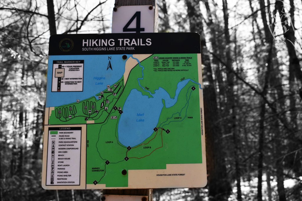
Marl Lake Loop

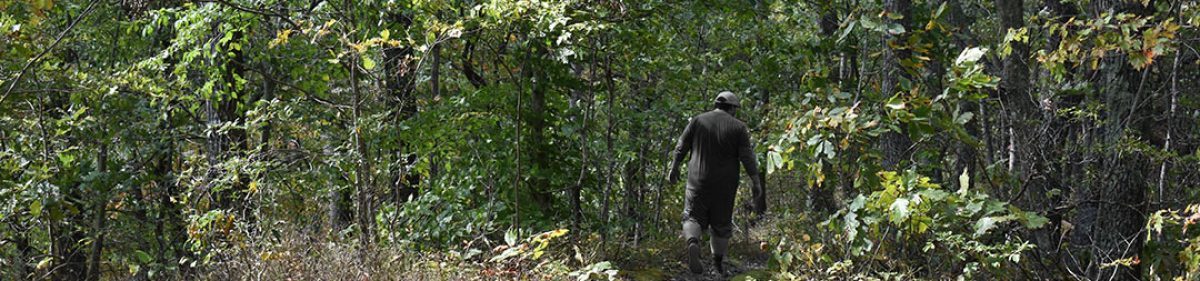
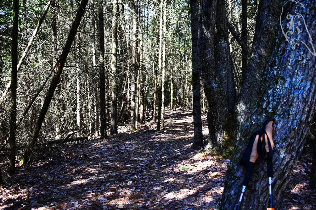
Marl Lake Loop is broken into three color-coded sections that are extremely well marked. I took the blue loop, which amounted to a recorded 5.2 miles. The farther you went in, the less traveled it clearly was. The green loop (2 miles) was a perfectly well traveled trail, with most of its trail exposed to the ground (leaves) and almost no obstructions. The red loop (3.5 miles) gave way to ice and trees down, while the blue loop (5.5 miles) gave way to snow and larger downed trees.
This was my first trail with no traction assistance on my feet, but the path had clearly experienced the strong winds that are known in Michigan from this time of year. I only saw one couple on the trail, and I’m pretty sure they were turning back, unable to challenge themselves with the obstructions. In most cases, the downed trees were easily navigable pines, but there were a few more challenging trees I had to pass. It was clear a bike had taken the trail at some point before me, and I commend that person for being able to make it through.

This set of trails also led to a new piece of gear to test, the pStyle, which is a personal urinary device that @_dragonsky__ suggested as she prepared for her thru hike of the Appalachian Trail (seriously guys, go check out her current journey). I did discover I had a bit of performance anxiety trying to use it, but I also think it’s going to be very helpful as I challenge myself to bigger and better trails and longer treks.
Lost Twin Lakes Pathway
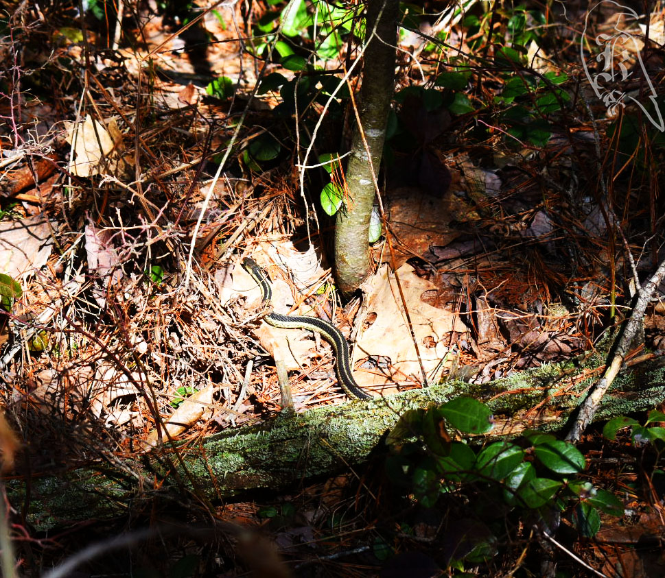
Then, it was off to the Lost Twin Lakes Pathway, which is a 3.4 mile trek and the one-quarter completion mark for my goal this year. The trail itself was terribly marked but well trodden and relatively easy to follow. I only came across two trail markers and one of them wasn’t even great at showing you where you actually were. This trail showed the greatest amount of life I’ve seen so far this year, with sightings of woodpeckers, chipmunks, and a snake!
I did have a relatively difficult time getting home after this one though. Beware when your GPS system warns you of “unpaved roads” on your journey. I drive a small SUV and I’m from West Virginia, so unpaved roads don’t usually deter me, but these “roads” were actually ATV trails and the further I went on them the more I questioned my decisions of following my GPS. I actually got stuck twice, but, thankfully, I kept my head about me and figured it out. I always keep my ice scraper in my car year round, so when I first got stuck, I was capable of digging out my wheels and rocking the car out. The second time, I actually had to remove a tree from the trail. 7 miles of “unpaved roads” and over half an hour of questioning my life choices, I made it out to hike another day. Be careful out there guys! This is exactly why I share my location with a friend when I solo hike (which is most of the time).
