18 and 19 of 52
Pine Valleys Pathway

For the first time this year, I did not come across a single other hiker on this trail. Pine Valleys Pathway is actually several loops that allow you to choose how you see the area. I ended up taking the Outer Loop for approximately 5.5 miles, although 50 Hikes in Michigan suggests the Inner Loop at 4.1 miles and the AllTrails app suggests the Middle Loop at 4.6 miles.

Due to trekking the Outer Loop, I experienced a bit more noise than you would likely hear on the other paths, because there is a good bit of area that parallels ORV trails, which is the only place I saw other people. Without this route, you would only cross access roads instead of running along the actual trails.

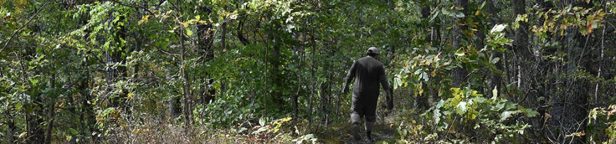
The trail itself is pretty well marked, but reading some of the posts can pose some difficulty if you are on the shorter side. Seriously, most of these map posts were hard for me to read at 5’6” but they were helpful. The terrain was low impact, with the path sporting grass, sand, and dirt. There were some areas where I felt there may be a concern for snakes due to holes in the path, but there was no posting of potential dangers and I didn’t see any of the animals. The animals I did see gave me the slip as I tried to get some good shots of a small group of deer that I chased for probably half a mile. There should be fair warning that the trail is deceptively steep. I didn’t use my trekking poles here because of the gradual rise and fall of the trail, but my legs definitely felt the work.
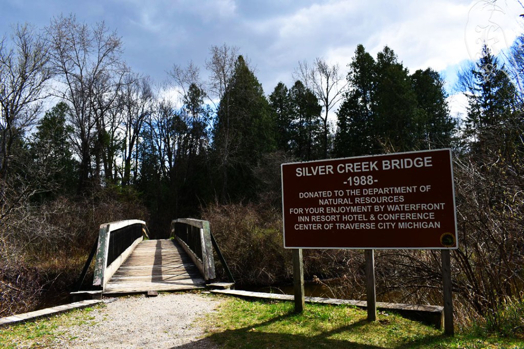
Silver Creek Pathway
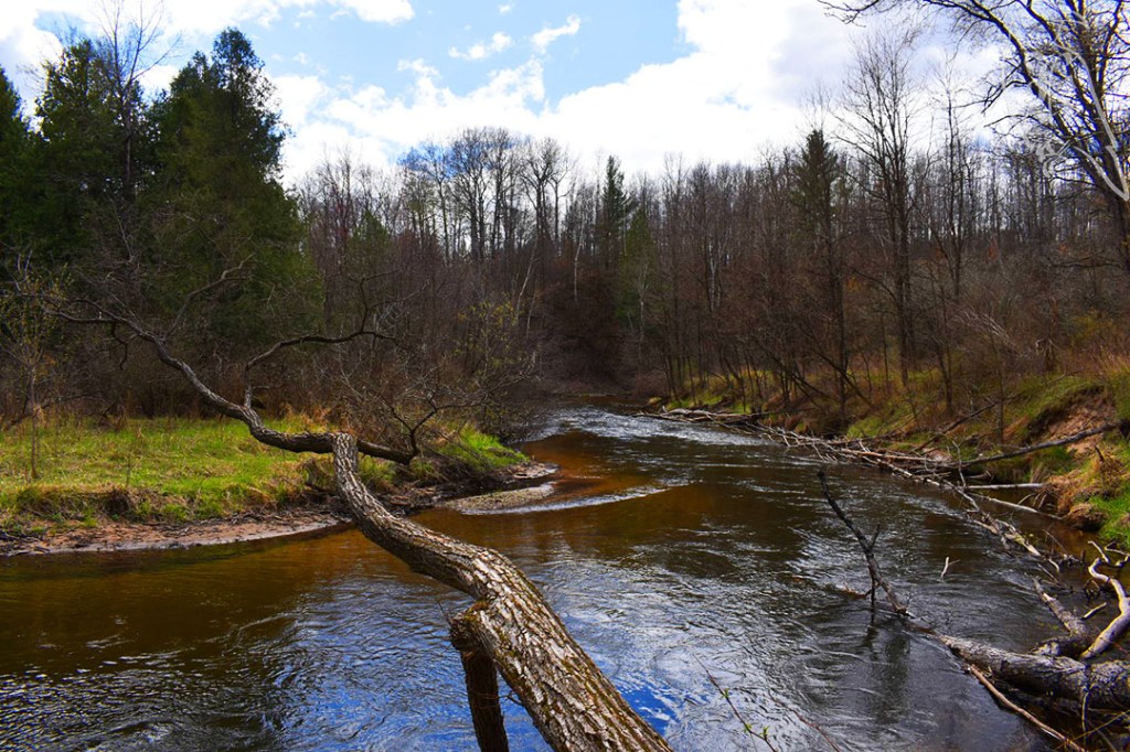
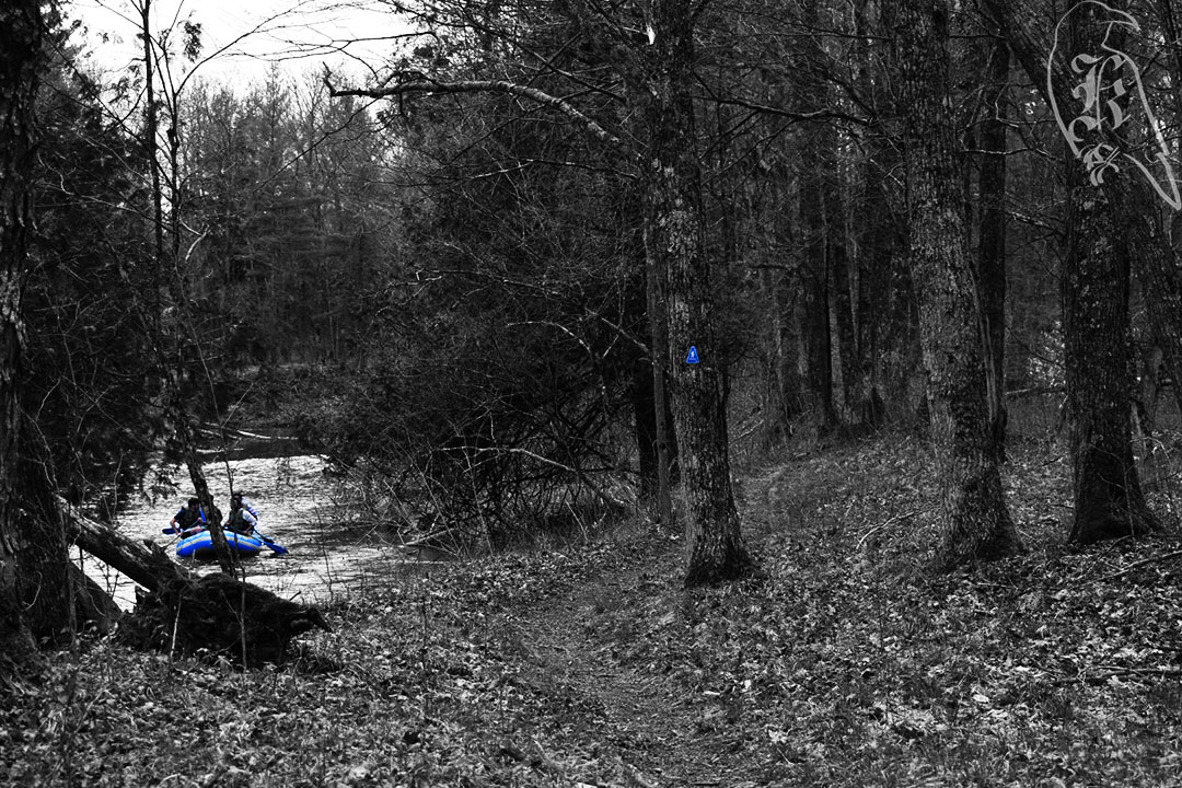
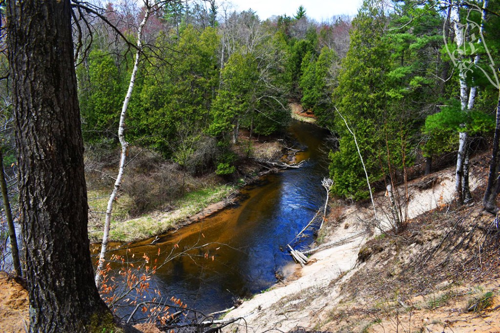
I really enjoyed this 4.9 miles trek, but it was terribly marked and dangerous at times. Essentially you follow Silver Creek between Silver Creek Campground and Lincoln Bridge Campground and then follow the creek back on the other side to complete the loop, leading to some gorgeous views of the water and some challenging inclines. Unfortunately, the trail is terribly marked and there is some pretty decent overlap with ORV trails, which poses some significant danger. In the entire trek, I saw four maps, and they were very helpful, especially when you consider trying to find your way along the trail portions you may run into vehicles on.
On top of unhelpful markings, there was no service at any point on the trail, which furthered the confusion on the trail as I tried to use AllTrails to keep my way. (This is a good argument for me to pay for Pro). I also wasn’t the only one having trouble. An unclear switch back led two other hikers and I to dead end at the creek, where we had to figure out where we were. If it hadn’t been for somebody else coming our way, it would have been difficult to figure out. We all got realigned to continue our treks and went our separate ways. I hope Betsy from Grand Rapids made it out okay with her dog. When we helped her get resettled on the trail, it was not promising as she mentioned her tendency of getting lost as she went on her way.
Heads up for those accessing the trail at Silver Creek Campground, there are only a few parking spots at the trailhead. I ended up walking in at the small parking area at the access road, that is for the boat ramp. I came across a canoe and a raft walking along the creek and saw kayakers launching when I left. It should also be mentioned that “creek” is a misnomer. Silver Creek is what I would consider a river, moves relatively fast, and looked deep at any point I got close to it.
