Gearing Up for Trekking Out

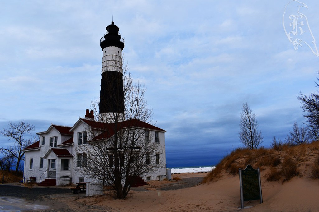
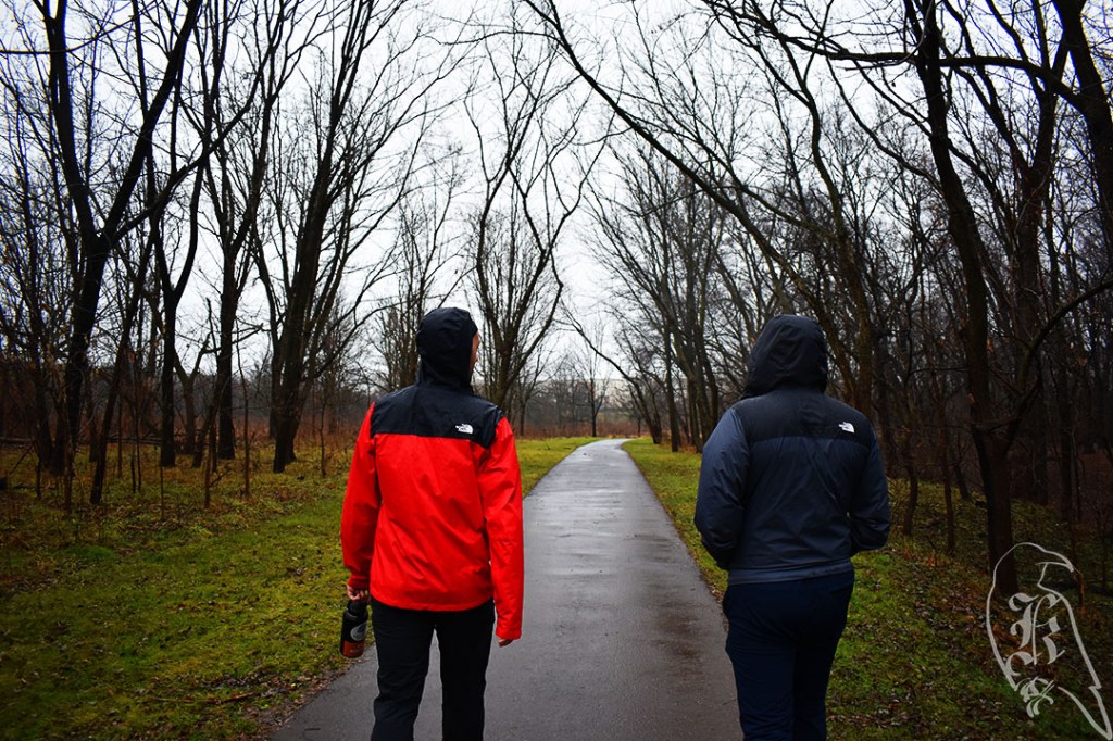
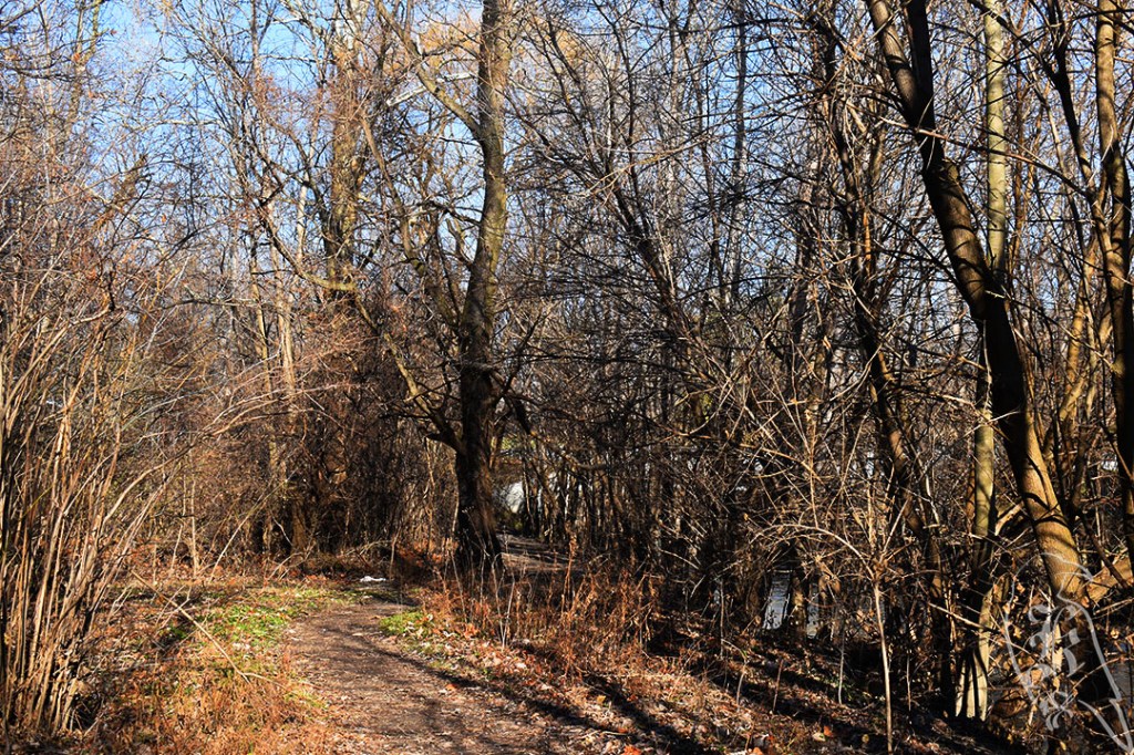
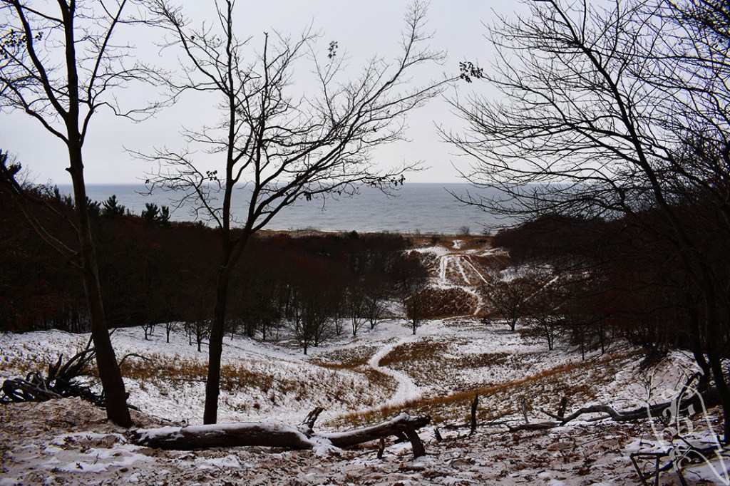
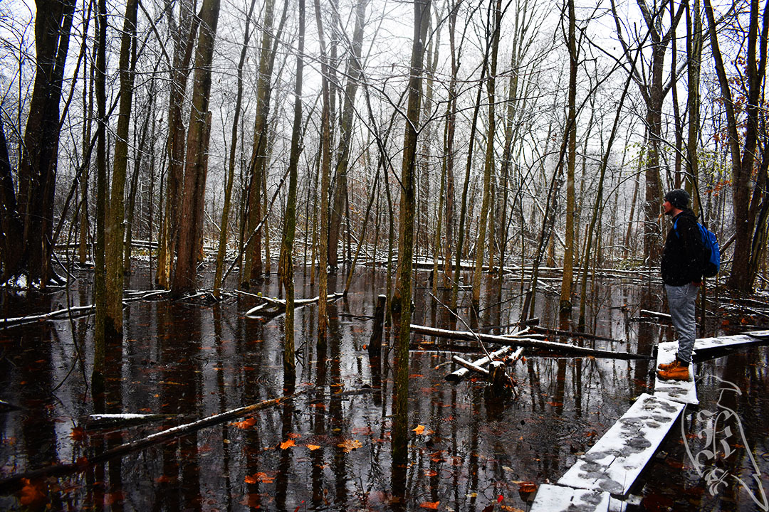
Family vacation was somewhere remote enough that hiking was a possibility, so I decided to bring my gear and plan to spend some time out on my own. Of course, I would get there and there wouldn’t be much hiking close to me and it would rain everyday, but I did learn some valuable lessons on the one day I attempted to go out.

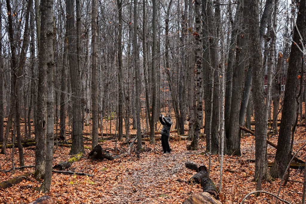
Sticking close to the cabin, I planned to hike around Krajec Lake, which we were staying on. I have recently gotten some new gear, so I figured a test of full gear in a safe area would be perfect. I did not expect the rain to have such a negative impact on things though. I only made it approximately a quarter of the way around the lake before I realized that continuing would not allow for time for my things to dry out before taking a 6.5 hour drive home the next day. 

Still, here is a brief summary of what I learned on this trip with full gear (approximately 35 lbs):

  • I have regularly kept my multitool on my belt since its purchase in 2020, because I like the security it makes me feel to have it easily accessible. My first walkabout with full gear proved I’ll need to change it up a bit, though. Likely, I’ll place it in a hip pocket and, if I can drop some desired weight in my midsection, I’ll likely forego the belt altogether.
  • I carry my camera in a 5L hip pack for accessibility as well. The camera and its gear will definitely need rethought as well. For this walkabout, I kept the camera around my neck and brought no extra lenses.
  • I had run my water bladder through the back of my pack so I could drink easier, but this didn’t work. I don’t think using the hose with the current setup is doable, so I’ll invest in some collapsible water bottles and use the bladder strictly for water storage.
  • Discovered upon getting home that I did not have my headlamp, which is not something I am comfortable leaving behind.

Gear List and Commentary:

  • Trekking Poles (x2)
  • 5L Hip Pack: This setup needs rethought to better go with the larger pack. Likely, the smaller pack will be absorbed into the larger one and the hip pack will be used on small excursions not including full gear.
    • D3500 Nikon with additional Long Range lens: Great for nature photography for the novice that I am. I will need to figure out a better setup though, and I might drop the weight for longer treks, though I am hesitant to.
    • Survival Book: This is a small pocket book I like to have around. It contains useful information and a little something to read at camp.
    • PakTowel (washcloth size): Great “sweatrag” and comes on all excursions, no matter how small.
    • Vaseline: Small, metal can which is easy to store and useful for many reasons.
    • Security Whistle: I keep this hear for easy access. It will likely end up in a hip pocket.
  • Gregory Deva 60L: I actually quite enjoy the feel of this pack and was surprised to find myself to be a “small” frame.
    • Rain Cover: Unused so far, but I won’t hike without it.
    • Clothes (Beanie, Pants x1, Shirts x2, Long Sleeve Shirt, Long Sleeve Fleece, Gloves, Socks x4): I wanted to mimic wait of a multi-day hike, plus I was unsure of what the weather would be like. I have worn all my clothes on multiple excursions and enjoy all my layers.
    • Rain Layer: I use a 3-in-1 Northface jacket that’s actually a bit small for my wrists, so I often just take the outside shell, which gives more moveability for my body and is protective from the water.
    • Garmin inReach Mini 2: While he’s on my pack, I haven’t activated him yet (I use my phone for a beacon), but I really like the features for this beacon.
    • Paracord Bracelet and Shark Light: These guys are a nice reminder of my personality and likely won’t make the first set of cuts when it comes to weight.
    • Sanitizer: Easy access on my shoulder straps.
    • Utensils, Pee Device, Belt, Multitool: Necessities of the day and all easy access. I keep the eating utensils and the peeing device on outside pockets or dangling from the pack.
    • Gregory 3D Hydro Reservoir-3L: He’s great and durable for carrying water. Unfortunately, I may need to ditch the drinking hose and just use him for water storage.
    • Notepad: I keep notes about treks for blog purposes and personal purposes. I’ll also not the number of particularly nice photos or what I want to remember about my mindset for taking them.
    • REI Co-Op Backpacking Bundle (Tent, Sleeping Bag, Sleeping Pad): I haven’t yet used the tent but the pad and bag just remind me of some physical issues I have, so I’m working on it. I don’t think other brands or cuts would provide the relief I need, so it’s more getting used to them again.
    • Hat, Fingerless Gloves: I wear my favorite Marshall University hat on all my treks. It’s adjustable, so I can attach it to my pack. I also wear bronze-lined wrist gloves, which help my hands when trekking.
    • Sunscreen, Bug Spray: SPF50 and small attempts against the bugs that love to eat me.
    • First Aid and Emergency Gear
    • Sewing Kit, Cords, Paracord
    • Food: Jerky, Chewy Bars, Trailmix
  • Boots

March-Traverse City Area Hikes

My March hiking had some definite issues but also some just nice, quiet, alone time that allowed me to remember why I love solo hiking so much. The original plan was to drive up to Traverse City, do my short hike (1.6 miles), spend the night, do my longer hike (3.4 miles), and then head back. But, of course, the end of the Michigan winter never quite does what it’s supposed to, does it?

Platte River Springs

Platte River Springs was supposed to be an easy(ish) 1.6 mile hike from a campground in the area, but, unfortunately, it was not meant to be. There were some challenges to this hike, like fording a river, and commentary like “the trail is not easy to distinguish at times,” but I wasn’t going to let that deter me. This would be only the second trailhead since starting getting guidance from the 50 Hikes in Michigan Book that I wouldn’t be able to find. And, without a corresponding AllTrails map, I was lost before I even started.

I found the campsite but not the trailhead, though, I do admit I could have been at the wrong campsite because there were several in the area with similar names, but I think I was in the right place. Due to the challenges of the trail (fording in particular), the lack of service, the remoteness of the area, and the fact that I was alone, I decided not to risk a hike without being sure I was in the right spot. The weather was cold and snowy as well, which just made conditions more dangerous. So, I headed to my hotel, checked in early, hit up their Fitness Center, and relaxed before hitting the planned trail for the next day.

Lake Ann Pathway

Originally constructed as a ski trail, Lake Ann Pathway is a 3.4 mile loop that I figured would be well traveled all year. 50 Hikes in Michigan mentions a specific “hiking season” but this seemed to just indicate a warning about the bugs due to the large amounts of water on the trail. There was an opportunity to make it a 5 mile loop by including a trek into the Lake Ann Campground, but the ten degree weather had me thinking better of that.

Lake Ann Pathway is known to be quiet (even though it’s just off the road) and to feature a ton of water. Unfortunately, the new snow (and the old snow) made these water features hard to distinguish. Platte River was the only clear water source I saw. Commentary about spring and fall hiking makes sense so you can truly enjoy the lakes on the path.

Can you spot where the lake is?

With the cold and new snow (and the problems from the day before), I decided to forego my daypack for less weight and a faster hike. I took my YakTrax as a precaution, and, though it was icy in some places, they were, thankfully, unneeded. The pathway is extremely well marked which was also a nice change from the challenges the day before. The longest section (between markers 7 and 8) was actually the least marked of the trail. It features the hardest terrain in its .9 miles as well, so it was a nice little challenge to the relatively calm day. Likely due to the cold, I only saw a single bird on the hike. We were the only ones breathing out there that day.

Unfortunately, I don’t know if I’m going to be able to keep up with my original plan for this year. I spent more in gas to Traverse City than I did on a hotel. So, I’m currently reevaluating so I’m not hurting myself financially, and will, hopefully, get to get in a new, challenging hike by the end of April.

February-Ludington Area Hikes

February saw me out to the Ludington area for a long weekend of hiking. I headed up Friday evening after a half day of work and then went out the rest of the weekend with a hotel room outside of town. In a slow build up to my full gear, I have added a headlamp and a new pair of hiking pants for testing. I had also gotten my old trekking pants fixed (bad zipper). I found no use to the headlamp for this trip, but I like having something like this on me and I’m excited to learn more about using it. The new pants were nice and heavier than I expected. This came in handy because my old trekking pants are just a little too tight to be comfortable. I am hoping some focus on my personal health in the next few weeks will make them easier to wear, as I really enjoy them.

Nordhouse Dunes Trail

I decided to start my weekend with the longest of the three hikes I hoped to complete, Nordhouse Dunes. Declared a wilderness in 1987, there is undeveloped nature for 4 miles of Lake Michigan shore and no signs, markings, or names to guide you. 50 Trails in Michigan makes the comment that it’s sometimes hard to see as a “wilderness” but I disagree, at least when it’s covered in snow.

I started later than normal, waiting out a Winter Weather Advisory and still experiencing 14 degrees and high winds. I began the hike at the South Terminus after 6.3 miles of unpaved roads to the parking lot. Or, at least, I think they were unpaved. The ice made it difficult to determine. The North Terminus is at a Rec Area nearby that can likely avoid the national forest pass required here. Though, I couldn’t get the machine or the website to properly offer me an option to pay for the space.

I planned over 6 miles of hiking on Nordhouse, but only went 4.2 miles. The wind really got to me when I hit the ridge. I cut back on the first switch back and made a shorter hike, keeping in mind my next few days and my own safety. If I had fallen on the ridge, I would have been alone and hard to get to. I didn’t see many hikers, but there were campers, including the Troop 63 Eagle Scouts.

I used just my trekking poles, but easily could have easily gone for my YakTrax or Crampons. Climbing the ridges were practically sheets of ice, but were still navigable, and the snow was still deep and not packed down in places. These were just a few reasons I stuck with my poles. The cold and wind froze my water line and my neck gaiter early on, so that was also a detriment to a longer hike.

I made my way back to my hotel to warm up, eat, and relax before my Sunday excursion with the writings of Bayard Rustin and the silence only a nice vacation can give you.

Ridge and Islands Trail

My next two days were spent on trails in Ludington State Park. This is a pretty popular area, but the trails take you away from it all. The Ridge and Island Trails seemed to sit between my Saturday and Monday trails too. Nordhouse sat to the north, while the Lighthosue Trail I planned for the next day sat to the south (in the same park). The map made me wonder if the Island Trail would be traversable in the winter, but I was glad to discover it was, mostly due to boardwalks. A shelter at mile 3 also made me think I’d have a place to regroup if the weather was as bad as it had been the day before.

The app had a 5.5 mile trail but cut a majority of the Islands so I stuck more to the proposed map in the book, which was 4.8. I actually only recorded 4.4 miles though. Again, there was a a weather advisory, but this time it was for wind and it was much warmer (36). Time off Lake Michigan likely cut down on the wind’s effects and I saw a lot of hikers on the trail.

About half way, I came across a couple looking for their dog, Gertie, and I promised to keep an eye out as I climbed a particularly high dune. Thankfully, at the top, the couple gave me a thumbs up and I could glimpse the gorgeous golden retriever with them, so I hiked on. Throughout the trail, I noticed snowshoers and skiers packed the heavier traveled areas long before I arrived, which made it easier to hike. I also stuck to my normal approach to loops: do the hardest half first. I dressed the same as the day before, wanting to make sure I was prepared for any weather, and was quite warm through the day. Then, I headed back to my hotel mid-day with a stop at Lake Michigan on the way out of the park.

Lake Michigan

Coming into (or out of) Ludington State Park you drive along Lake Michigan for several miles through the dunes. Clearly this is a popular space to stop and get pictures, especially in the winter, so I joined the masses. Actually, I FaceTimed my mom at one point to show her the mass of frozen water and the wave activity and then assured her I’d get as good of pictures of the phenomenon as I could. But, trust me, there’s no truly capturing this sight.

Lighthouse Trail

My final day took me back one more time to Ludington State Park before I made the trip back home to return to the everyday. Calls for a beach hike seemed unlikely due to the state of the lake at this time of year, so I was sure to have a backup plan. I determined an access road should be adequate for the trip back and that it should help cut any wind I come across from the lake. 50 Hikes in Michigan states the only time you can see the road is when you cross it, so that should indicate protection from the winds. In reality, the Lighthouse Trail is actually a combination of the Logging Trail and Lighthouse Trail, which includes open dunes.

With the detour down the access road, I logged 4.7 miles instead of the proposed 4.3 of the day. (Note: The AllTrails map starts across the river, while the 50 Hikes in Michigan map starts at Pines Campground in Ludington State Park.) I started at the park’s Warming Center, as the campground is closed and only campers can park inside anyway. I remembered to keep reminding myself there is no right or wrong way to cross open dunes. If you make it, you did it right. This also led to silencing the navigation warnings from my maps. I also made sure to take the access road back to be safe from Lake Michigan. The lake can be pretty rough to hike along in warmer weather, but once it starts to freeze it’s just dangerous. When looking at Lake Michigan in the winter, it’s tough to determine where the sand ends and the ice begins, so having an alternative route will just keep you safe.

Once I got those few hours of hiking in, I hit the road back home and was already looking forward to my March trip a few weeks out. I hadn’t hiked in 6 weeks, and I hadn’t really realized how much I had missed it (or how much my body wasn’t ready for 15 miles of hiking).

What I’ve Learned and My Hiking Plans for 2022

The 52 Hikes Challenge for 2021 really grew out of a friend completing the challenge in 2020, a reintroduction to hiking for me that same year, and an attainable long-term goal I thought I could truly reach. In that way, this challenge was extremely successful, especially in a year where I made 11 trips back home to West Virginia (almost 5 full weeks of unplanned travel), often without a chance to hike, and I took a position with more responsibility that made getting away on a whim a bit more difficult.

This year was full of a lot of lows, losing 3 of my 4 grandparents, grappling with my own mental and physical health, and losing a feline companion I had had for 8 years. It was also full of highs as I gained an extremely supportive roommate (in my little brother), made some strides in my career, and did some self-work that led to being a more authentic version of myself. All of that was done while also weaving in 52 unique hikes into my year, only redoing 2 hikes I had previously completed in my entire adventure.

First and foremost, I learned that I could complete a long-term goal, which I haven’t done in awhile, especially when I have the support of friends and family. I also learned just how beautiful and diverse a place the natural aspects of Michigan are, as 49 of my hikes took place in the state. I learned the importance of proper gear and being prepared while also learning to use new things to me, like AllTrails and my new-ish vehicle.

All of these things have informed my hiking plans for 2022. I will not be completing the 52 hike challenge again, because I need a bit more freedom than that allowed and a bit less stress than can be put on you from trying to complete enough hikes, but that doesn’t mean I’m not going to challenge myself. In fact, I believe my goal this year will put me closer to being prepared for a long-distance trail in the next few years.

I started last year with the hopes of completing all 60 hikes in 50 Hikes in Michigan. Due to some previously stated issues, I have 27 left (well, 28 but there is a hike I legitimately can’t find that it suggests). My goal is to complete these remaining hikes with 10 trips throughout the year. Many of these will just be long weekends, though I do plan to do an entire week of solo hiking in mid-May to truly test what I’ve learned in the my time back in the woods.

While doing this, of course, I’ll be continuing to learn so many other things and I’ll be looking to long-distance hikers for guidance through guides, both in books and online. I also hope this helps relieve some of the stress I put on myself to produce blog posts and edited pictures in a timely fashion, as I won’t be going on as many adventures this year.

I already have my February trip planned (so stay tuned) and an idea of at least where I’m going the rest of the year, so here is to good gear, cheap hotels, and many learned lessons this year! Happy 2022!

The Final Two

My original plan, as I began to decide how to end my year, was to have one final hike on the weekend of New Years with my best friend and his husband, funnily enough, making for 50 Hikes in Michigan– although I deviated from the book itself- and 2 outside of it (West Virginia and Maryland), but that didn’t end up happening. When my final hikes got tossed up, my best friend and his partner took the reins though, and I’m forever grateful to them for that.

On December 28, I headed toward Frederick, Maryland to end the year with someone I haven’t gotten to spend nearly enough time with in recent years (I’m death glaring you COVID). He had set up a slew of activities that included a lot of the outdoors, plenty of good food, and a healthy amount of football, so I knew I was set.

My best friend from undergrad and I at Jefferson’s Rock in Harper’s Ferry. (Photo Credit: Edward Flores)

My first full day, we headed out to Gettysburg, which I’ll likely cover in a different post, and the fun just continued from there.

51 of 52

Harper’s Ferry

Day 2 included Harper’s Ferry, on both the West Virginia and Maryland sides of the Appalachian Trail and trekking through the town itself and parts of the C&O Canal Pathway. We even did some rock jumping, responsibly, in the Potomac, and the boys kept me on my toes with their extremely long legs. The trek was punctuated on both sides with some great coffee and we spent a majority of our time out and about the town talking about politics and our reasons behind why we like certain portions of American History.

While it was cool to see John Brown’s Fort and to glimpse multiple moving trains from so close, being able to chat about such things freely with such great people probably marked this as one of my favorite hikes this year. I think this particular trek really hit home that, like my best friend, his spouse is also someone I can have thoughtful conversations with, even if we don’t have similar views on things, and that none of us are afraid to state when we don’t have enough information about something to have an opinion.

52 of 52

Monocacy River Trail

The rain didn’t deter us as the boys trekked ahead of me.

Finally, on January 1, 2022, I finished my challenge. We decided it counted because Hike 1 of my 2021 challenge was on January 2, 2021 and the challenge is about personal goal reaching, not really anything beyond that. The boys were also adamant about completing it with me, because they wanted to share in the celebration of completing a long-term goal of mine. We headed out to just around their house to a trail they frequent often. Starting at a soccer pitch, we followed the Monocacy River for a couple of miles before cutting back through their neighborhood and ending up back at their brownstone, champions of a year long saga, together.

A Final Blow this Year that Almost Derailed Me

Returning home from Florida, where our family celebrated an early Christmas, I had planned on spending the weekend before Christmas knocking out a few more hikes and then enjoying some more relaxation in the last few weeks of the year. Of course, this wouldn’t happen, as we came home to find a sick cat.

I had to put my feline companion down 4 days before Christmas and caring for her meant I didn’t even touch the outdoors on a weekend I had planned for 3 treks. Then, of course, the next day, one of my fish also started showing symptoms of illness. Though, he would hold on a few more weeks.

Because of this, I almost gave up, but a short trek on Christmas with my sister, who surprised my brother and I with a visit, and a small adventure the day before I traveled for the end of the year got me back on track to complete this challenge.

49 of 52

Furstenburg Nature Area

I trek this path semi-regularly, but I hadn’t done it yet this year, so I knew it was a good option. It was only 1.5 miles and I knew the terrain would be something my sister would be able to do, as she doesn’t have much experience for the types of hikes I prefer. We headed out on a mild, rainy Christmas Day for some fresh air. Due to rain beforehand, the boardwalks were slick and there was significant mud, but we completed this adventure with very few problems.

50 of 52

Waterfall Loop

Officially, this trail was closed, but I take it the same way as I do swimming without a lifeguard, “Hike at your own risk.” I saw others on the trail, so I was confident I wasn’t the only one that felt this way. Unfortunately, the waterfall, which is why I had picked the trail, was not much of one, so some false advertising there in the name.

There was a clear erosion issue on the trail, but it did show indications of slowly being addressed in places. There was also an overgrowth issue, which made keeping the trail difficult in places. Some of these issues may have been why the trail was officially closed, but there were no further indications of why this may have been.

This path actually had to be traversed to get through the think branches.

Back to Ann Arbor

47 of 52

Scio Woods

The Sunday after Thanksgiving, I wanted to build on my momentum, recognizing the end of the year was fast approaching. I headed out to Scio Woods for a quick 2 mile jaunt before heading to my second hike of the day. I took the right entrance upon my arrival and, for the most part, followed the red arrows to stay on the path. It was well traveled and decently easy to follow. I did fall at about 0.3 miles, which made me think for a second that my day may be over, but after getting my bearings and remembering how important it is to be careful because leaves can be extremely slippery, I went on my way. The are, in general, was pretty hopping. There were only about 5 parking spots at the trailhead, but there were many more cars and you came across a decent number of people. The fact that it was a decently mild December day may have had something to do with that though.

Another photographer on the Scio Woods Trail.

48 of 52

Bluff Nature Area

For my second trek, I headed out to Bluff Nature Area for what was supposed to be a 2.8 mile hike. I ended up only going 1.5 miles because I have some issues with going in pointless circles, which much of this path was, crossing back over itself multiple times. The elevation changes also ended up being pretty rough in places, so the shorter jaunt was probably better for my legs, especially after falling earlier in the day.

A view of Downtown Ann Arbor from the Bluff Nature Area Path.

In general, I didn’t like how exposed I was, or, at least, felt. It didn’t really feel like you were in the woods, just on a stroll on the outskirts of downtown Ann Arbor. There were even some interesting views of downtown sprawled out in front of you a few times. It was cool to hike along cemetery property for a while, because I enjoy experiencing new cemeteries, but that seemed to be the only true highlight for this hike.

A Thanksgiving Adventure

Taking into consideration that much of my time away from work this year had not been for relaxation, I decided to create a unique adventure for my long Thanksgiving weekend and get back to the trails. This included 3 hikes with the possibility of over 20 miles of hiking on my own, near the Muskegon area over the holiday. Having not tested my gear since getting a new tent at the end of October, I spent the nights in a hotel centrally located near the trails and headed out for my first trek well before sunrise on Thanksgiving morning.

44 of 52

Birch Grove Connector

The Birch Grove Connector in Manistee National Forest and part of the North Country Trail has been on my list for awhile, but I had some issues in recent months dedicating that kind of time to hiking. AllTrails marked the hike at 7.5 miles, but 50 Hikes in Michigan stated 9.2. I went a little over 8 miles on the day.

The last half mile of the drive to the trailhead is unpaved, but it was well maintained, so just be prepared for that. While there are vault toilets at the trailhead, they were closed for the Winter when I was there. Also, because the trail is located in the Manistee National Forest, a Michigan Rec passport is invalid. So, if you aren’t hiking the North Country Trail and you just drive out for a day on the connector, you’ll need to come prepared with $5 for parking. There were no sign of envelopes to pay in cash, but they did have signage that got you to their portal online on your smartphone.

It was raining and about 40 degrees when I arrived, and I was on my own for the first time in a while. As I continued to hike through the day, the rain slowly turned to snow, and wouldn’t leave for the rest of the weekend. The trail consisted of Lada Lake, a Wildflower Trail (although it was dead this late in the year), and ruins, though I’m not sure of what. AllTrails was terribly marked and the lack of physical markings (aside from the blue on the trees) isn’t helpful either.

There was also significant time on the side of a road, which was quite rough on my feet after not doing such long trails for awhile.

I have decided Blue is a stupid marker color, especially if you are marking trees. On top of the lack of posts throughout the trail, when you could find a marked tree, it was hard to discern because the color bled into the bark they marked. Finally, there seemed to be some false advertising in the 50 Hikes in Michigan book, again. Like the Haven Hill Estate, there was promise of the famous NCT school house in the book, but no such luck on the trail itself.

45 of 52

Silver Lakes 

After an evening of realizing food would be hard to come by traveling on Thanksgiving, I headed out to Silver Lakes for a dune trail in the snow. Marking at the same trailhead, AllTrails marks the Silver Lakes Trail at 2.6 miles while 50 Hikes in Michigan states it to be 6 to 7 miles. The real kicker is that there is, in fact, no actual trail! This trail exists in the dunes between Silver Lake and Lake Michigan and has no true markings other than the water itself.

Have you ever seen a dead resort town? Because that is exactly what you get when you go to a lake town at the end of November in Michigan. A fresh blanket of snow had fallen overnight and the morning came with temperatures of 27 degrees with no hopes of getting much warmer. While the roads were not hard to traverse, there were definitely a few rough patches, and many of the roads in were extremely narrow.

50 Hikes in Michigan marks the trail across the dunes and then down the Lake Michigan shoreline 2.4 miles to Little Sable Point Lighthouse. I decided, keeping in mind that I had another trail tomorrow and had been out for 8 miles the day before, that I would check out the lighthouse after the hike, as I am also not a fan of walking down shorelines in my hiking boots (yes, I wear my boots even on sand dunes as they protect my ankles). This did lead me to discover that accessing the lighthouse from the beach is actually probably easier.

Still, I decided there would be plenty of workout for an out and back just to Lake Michigan, so, in full winter gear, I headed out onto the 700ft dunes. I didn’t even crest the first dune before I discovered something I’d never thought of before: frozen sand! I paused, slipped on my microspikes and kept trekking. I have decided I much prefer frozen sand to the sand I fought with earlier in the year.

As I continued my hike, I quickly discovered it is quite lonely on the dunes and I learned why walking in the desert can often be described as disorienting. It’s critical to have some form of GPS on you so you don’t get lost. There is over a mile where you are incapable of seeing anything but sand. Much of Silver Lakes is home to almost no vegetation, so I learned about Ghost Forests as I walked my lonely trek across the sand. These are dead trees and vegetation that have been claimed by the dunes.

Once I reached Lake Michigan, I had to readjust some of my gear. I did some quick repair on my microspikes and readjusted my clothes. I ended up busting my hiking pants, but with extra layers and my belt, I wasn’t left cold or exposed to the elements.

46 of 52

Dune Ridge Trail

My final day consisted of the Dune Ridge Trail before driving home, and I had a snow storm looming over the lake as I trekked. AllTrails and 50 Hikes in Michigan marked the trails similarly at 4.6 and 4.2 miles respectively. Because I tend to make things harder on myself, I ended up going 5.4 miles.

Instead of microspikes, I went with the less aggressive YakTrax on this trail. And, because I hate turning around if I don’t have to, I ended up climbing up a 1000 ft dune instead of backtracking less the a quarter mile to take the right turn. Small, achievable goals and plenty of rest was the only way I made it to the top. And, I knew, my legs were going to spend the next few days hating me. This trip led to me busting another pair of pants and relying on my handy belt again. It also reminded me why I need to double down on some of my fitness goals.

Again, the 50 Hikes in Michigan book mentioned a landmark I never saw. It stated that a blockhouse sat at the highest point in the park, but I never saw such a structure. I did come across the deserted Channel Campground, though, and I got some shots of a few deer hanging out there.

The Dune Ridge trail is actually two trails: the Ridge Trail and the Devil’s Kitchen Trail. It is largely surrounded by the waters of Lake Michigan, Lake Muskegon, and the Shipping Channel between them. Devil’s Kitchen, during warmer times, is known for the fog that rises from the swampy area (it was frozen while I was there). My suggestion would be to take the Ridge Trail first and then go through Devil’s Kitchen, as you can get the hard parts out of the way first.

Woods Creek Rustic Trail

43 of 52

Back with my brother after a couple weeks (We couldn’t hike last week because our sister was using us for some free labor), we got to have our first snow-filled trip of the season! Woods Creek was largely a ridge, which was also challenging in its own way. Add snow and the fallen fall leaves and you get a bit of a slippery mess. We were sure on our feet though, and had a fun conversation about how the experience reminded my brother of one of his favorite video games, The Witcher.

We decided along the way that we were trekking out to a “boss battle” and that was kind of fun to play around with as we enjoyed our day together. Coming home to cook some homemade chicken and dumplings and spaghetti and meatballs for the week just capped it as a good first “wintry” day in the books this year.

Shortest, Short, and Shorter

40 of 52

Miller Woods Loop

Have you ever been warned about screaming before beginning the trek around a short loop? Well, now I have, but what else did I expect with an early afternoon excursion on Halloween? A school film project brought these kids to the woods to film some horror scenes as I took my camera to enjoy the silence. Guess who got what they needed? Hint: It wasn’t me. At least, not on this trail.

This trail is extremely short at 0.3 miles but is a well marked loop in a pretty nice area. You will have to park on the side of the road, unless you are a member of the local community, but there is plenty of room for 3 to 4 cars on each side of the road.

I had originally contemplated sneakers for this trail, as it was short and I was just trying to get myself into nature, but I was glad that I always keep my boots in my trunk. The entrance to the trail was under about 3 inches of water due to its natural landscape and the constant rain from the week before. Even with my boots, the trail was slick due to the fallen leaves, but the day’s adventure truly tested the waterproofness of my hiking boots.

41 of 52

Schroeter Park Loop

After traversing the one-lane road for the last half mile to the trailhead (which might be easier to do with an AWD or 4WD vehicle), I continued to test how waterproof my boots really are. This 1.2 mile trail in Canton was the wettest I’ve come across since Bishop’s Bog, which is a literal swamp. There are about 6 parking spaces, so you don’t have to worry about that, like I have in some places.

The trail itself, while extremely wet, was a nice mix of both open air fields and actual woods, so it was a very nice way to take in those big, gulping breaths of fresh air I really needed that day.

42 of 52

Creekshead Nature Preserve Area Loop

Finally, I made it out to yet another nature preserve, but I will tell you, I almost didn’t find this one. Creekshead may be an easier trail to come across if you aren’t solo hiking, like I was that day. It was extremely difficult for me to find the trailhead, which has a sign, while I was driving up and down the road. Then, I had to park on the opposite side of the road of a pretty trafficked area, so, be careful and know your car might not be safe if you don’t get completely off the road.

It was nice that there was a pamphlet included at the trailhead that gave you some background. This type of information isn’t always still around, so I grabbed one and tucked it into my pack. The trail itself was relatively easy to traverse, although the fallen leaves, prevalent use of wood planks, and wet air and ground did make it slippery in places. The trail is tucked between two houses, but you don’t really seem to notice, so that was a nice feature as well.