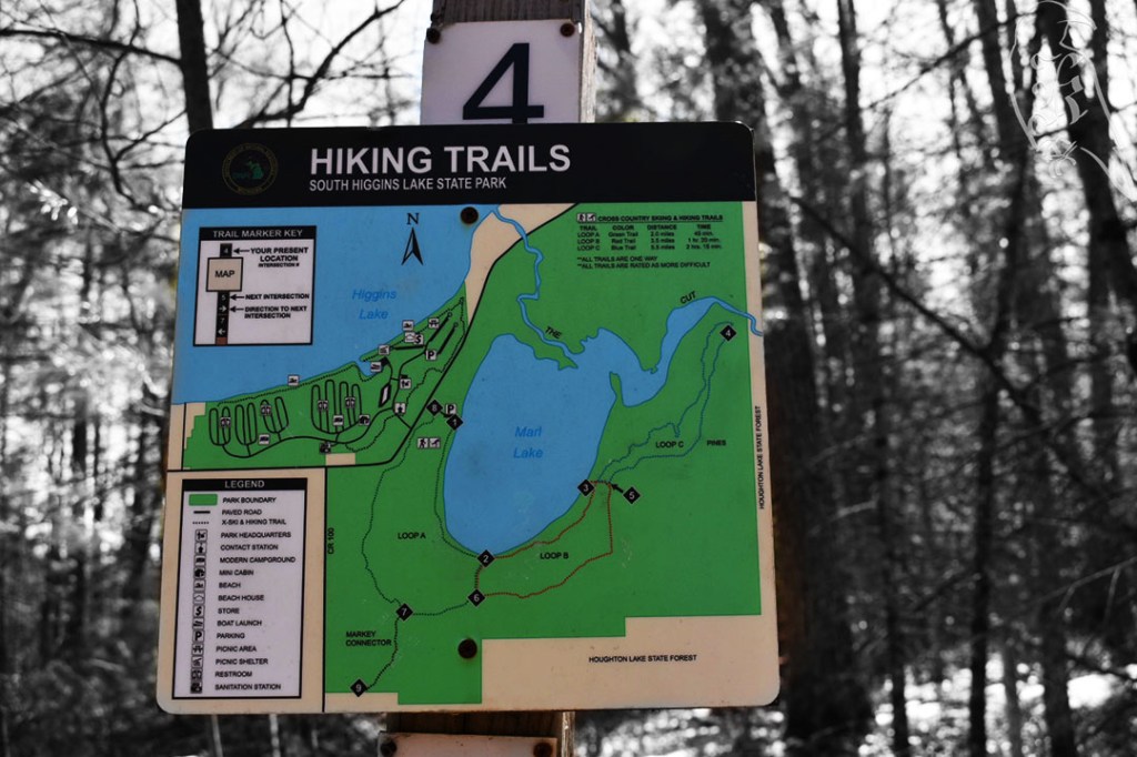

22 and 23 of 52
Chippewa Trail
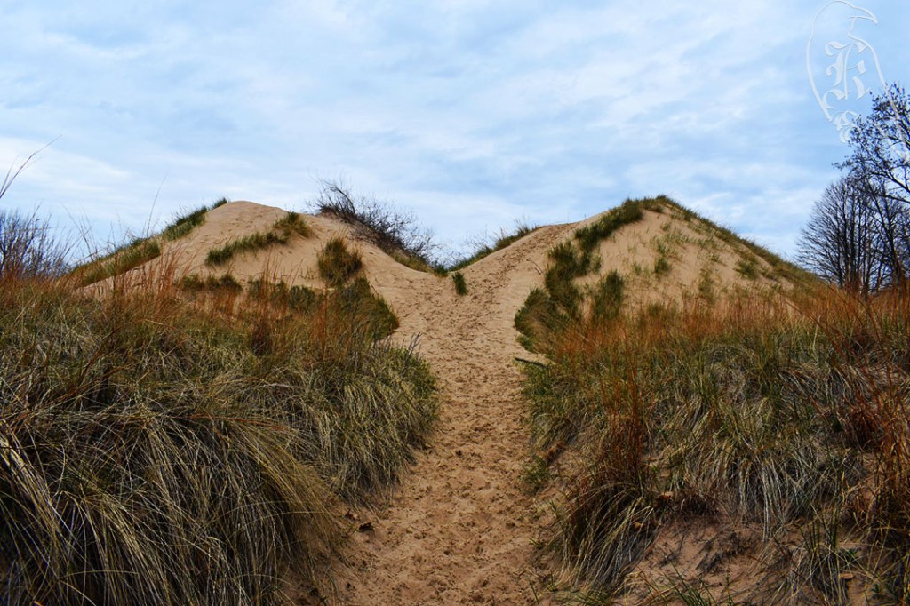
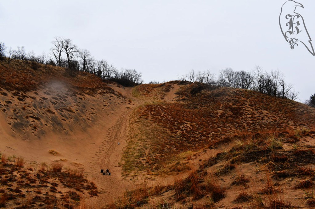
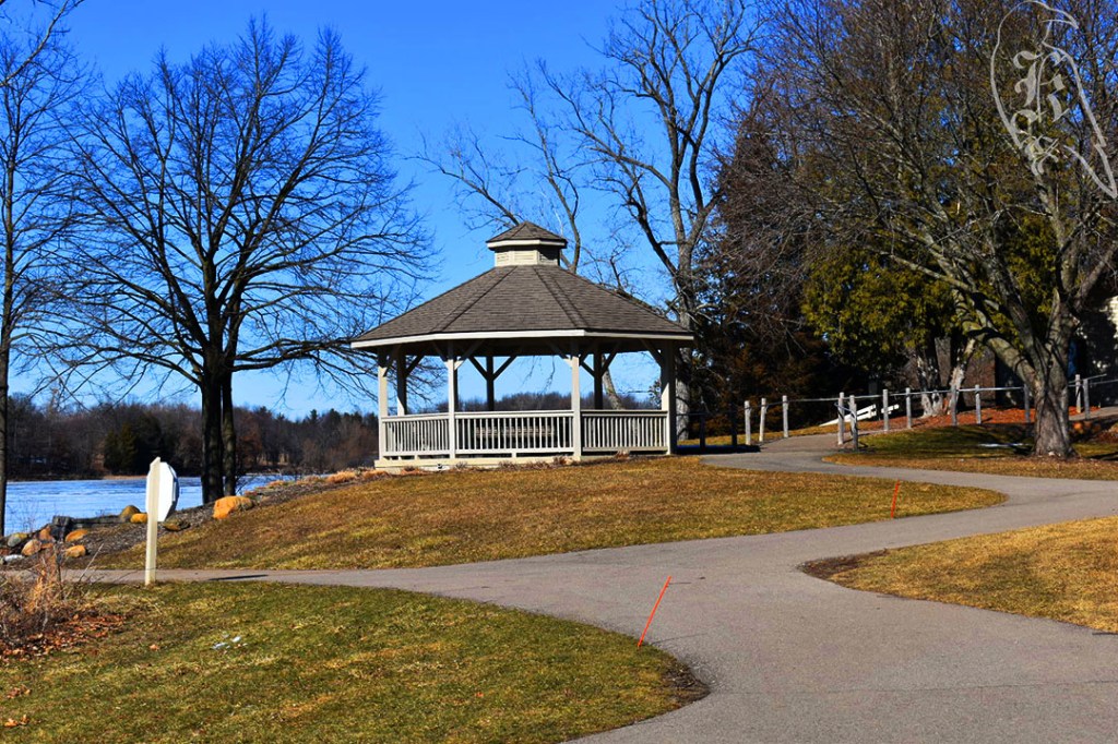
The Chippewa Trail is actually part of the Negwegon State Park’s trail system, which is also host to the Algonquin and Powhatan trails as well. With a planned 7 miles ahead for just this trail, I headed out relatively early to get ahead of the heat (and hopefully the bugs). This trail is a little harder to get to than most, so be aware of the 3.9 miles of unpaved, single lane road out to the trailhead. It has no winter maintenance and can be rough on the tires. Another reason I’m glad I’ve ended up with an SUV.

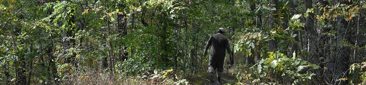
My Saturday morning felt like a Monday, when I got to the trail and realized I had left my sunglasses, prescription orthotics, and trail book at home. Only one of those posed any huge threat, as I use my book as a backup map and my sunglasses just make things a little darker, but I refused to let that deter my day. I headed out with the hopes of truly testing out my new water bladder, sun gloves, and copper-lined gloves (for a bad wrist) and enjoying my day in the woods.
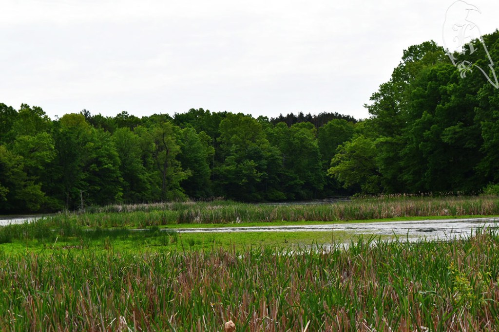
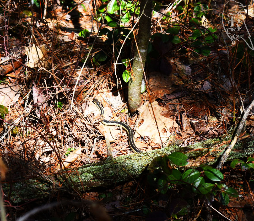
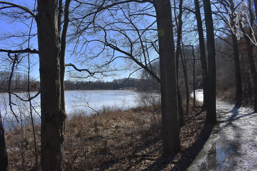
Unfortunately, to add to my Monday-like Saturday, my bug spray didn’t seem to actually get rid of the bugs. While it was possible that the bites I noticed on my arms were from a Pride event the night before, I ended up with some nasty spots on my belt line, which were just uncomfortable by the time I got to the end of the trail. The DNR notice of nesting bald eagles also cut into my hike. These notices were well posted to help protect the animals, but it cut my trek by almost 2 miles and almost made me miss seeing Lake Huron, even though you are so close to it for the majority of the time.

The final leg of the trail was pretty marshy and felt like it should have had a boardwalk on it (or, in some spaces, that it used to have a boardwalk on it). Nothing was hard to traverse though, and it was a relatively pleasant walk. There are a few backcountry camping sites on this system, but be sure to plan that ahead of time, if you are interested. These sites require previous registration, so it can’t just be done on a whim.
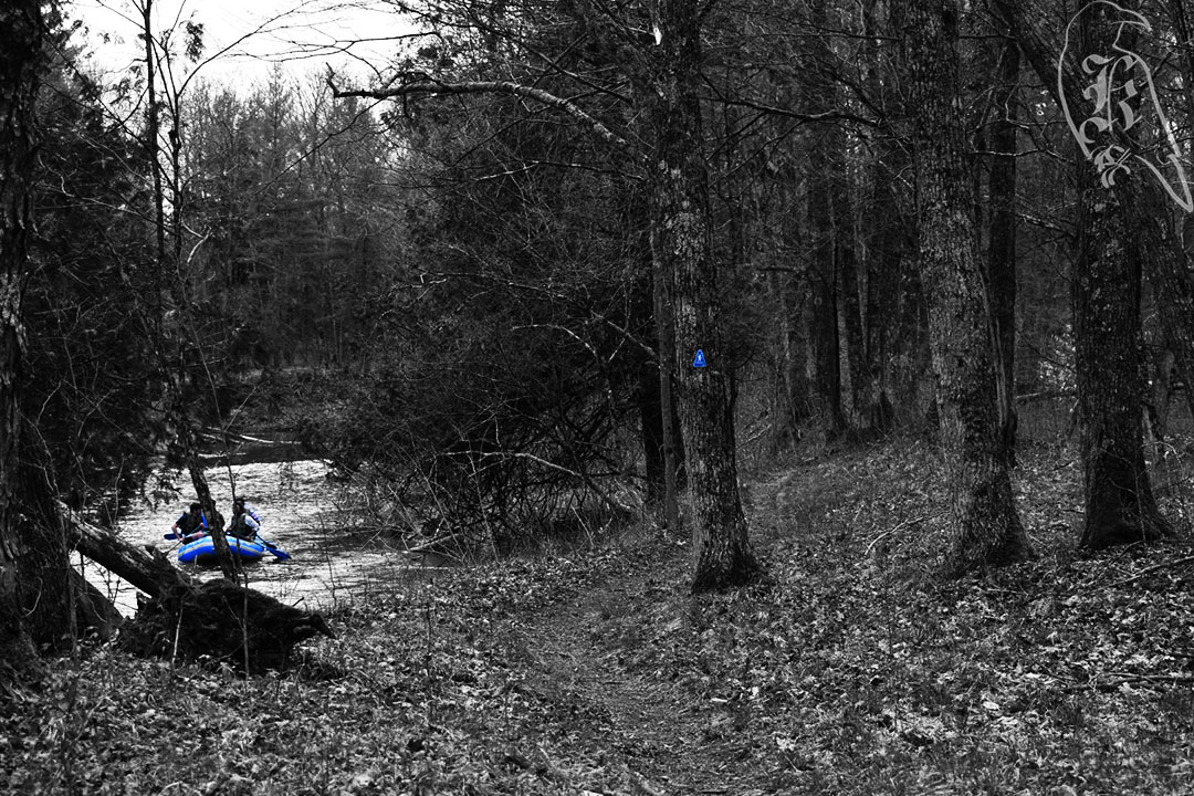
Reid Lake Foot Travel Area

The Reid Lake Foot Travel Area requires a fee for parking, but this $5 can be taken care of when you arrive at the trailhead (just don’t forget to bring cash or a check). While I saw plenty of wildlife during my day, Reid Lake brought a plethora of dragonflies to my day.
Unfortunately I’d have to disagree with DuFresne’s description of the trail and its ease of use. 50 Hikes in Michigan describes the trail this way:
“Trekking is not hard at Reid Lake. The trails are well marked with blue blazes, the junctions are marked with locator maps, and the gently rolling terrain contains few climbs of any significance.”
DuFresne, 79
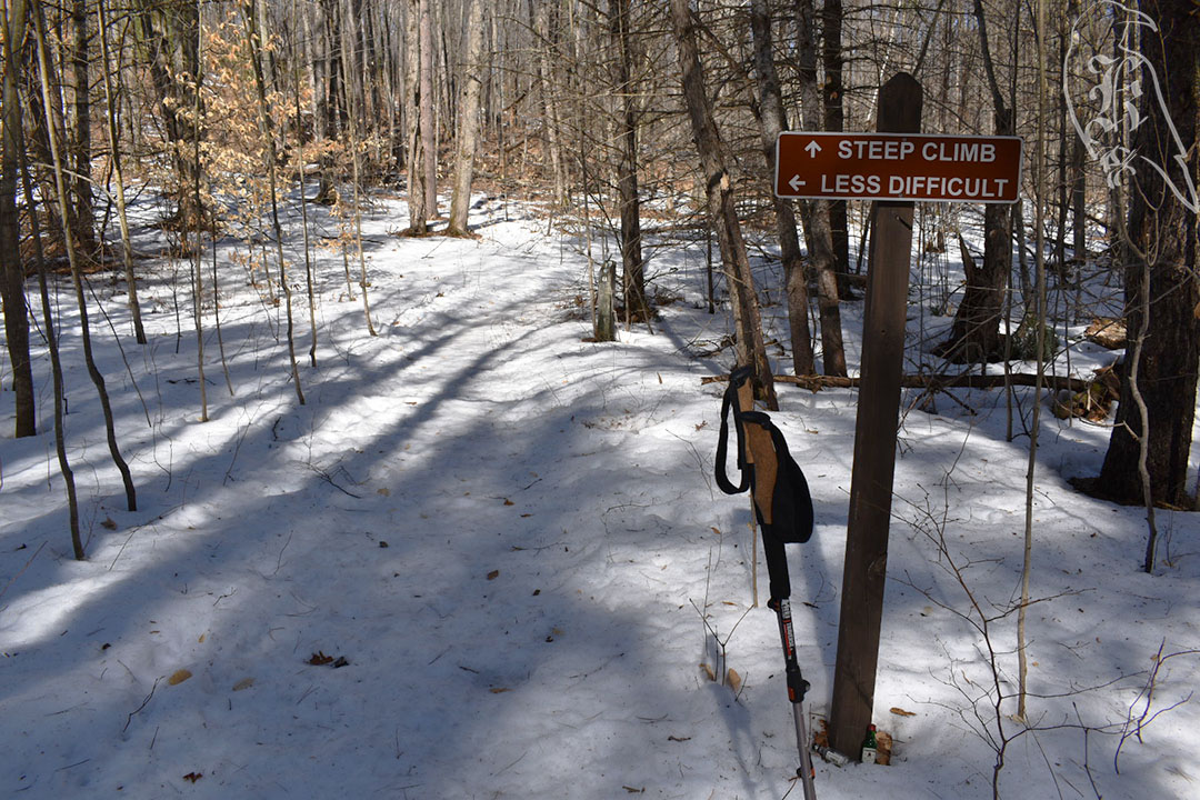
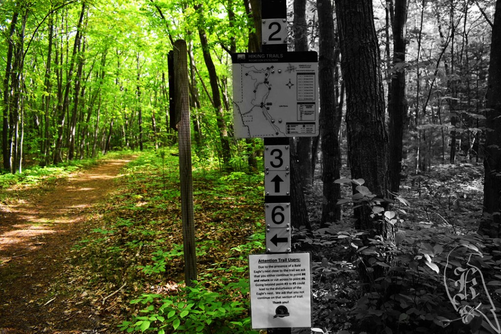
While it is stated that the trails will be marked blue, I do not recall seeing many of these markers around, and while there ARE locator maps, I was easily confused by them and ended up taking a wrong turn pretty early on. The terrain IS nice and rolling though. Unfortunately, and this may be due to how early in the season it is, many of the areas are extremely overgrown and, in places, it is pretty easy to lose the trail.

Due to the wrong turn, I ended up cutting this trek a bit short too (though, by less than a mile), but I think my feet were thanking me in the end, due to my lack of proper support. I did discover how generous spotty GPS can be though. Both my Fossil and FitBit tracking had me way over the mileage I had done. This trail and my issues with it reminded me to keep my expectations low, even when trails are talked up so much. But, still, a day out in the woods is better than most days, even when being eaten and a bit lost.