Testing Gear, Knowing Yourself, and Listening to Others

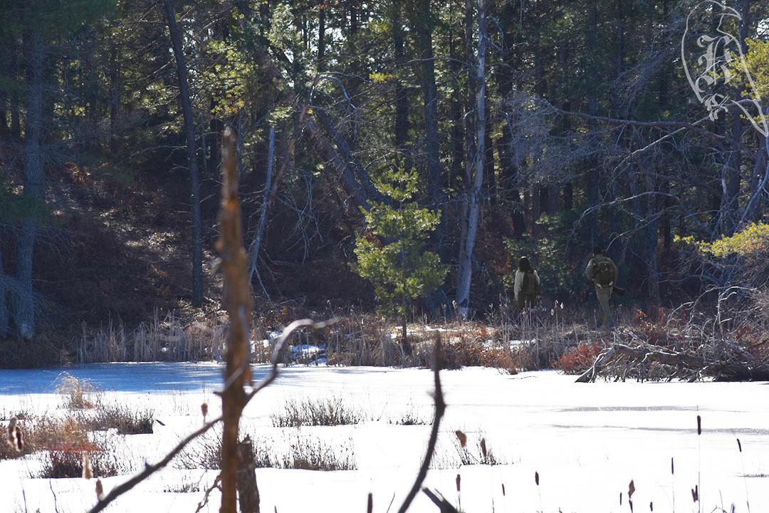
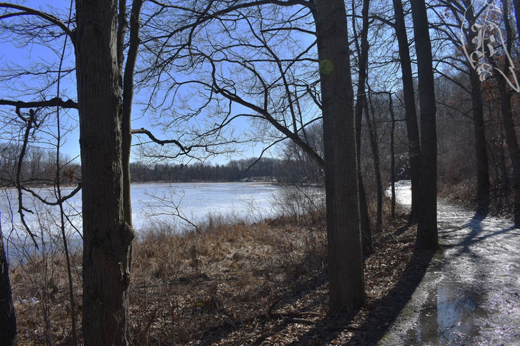
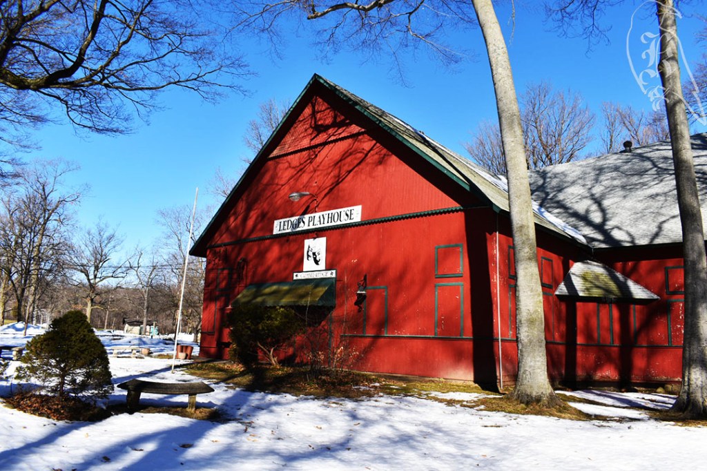
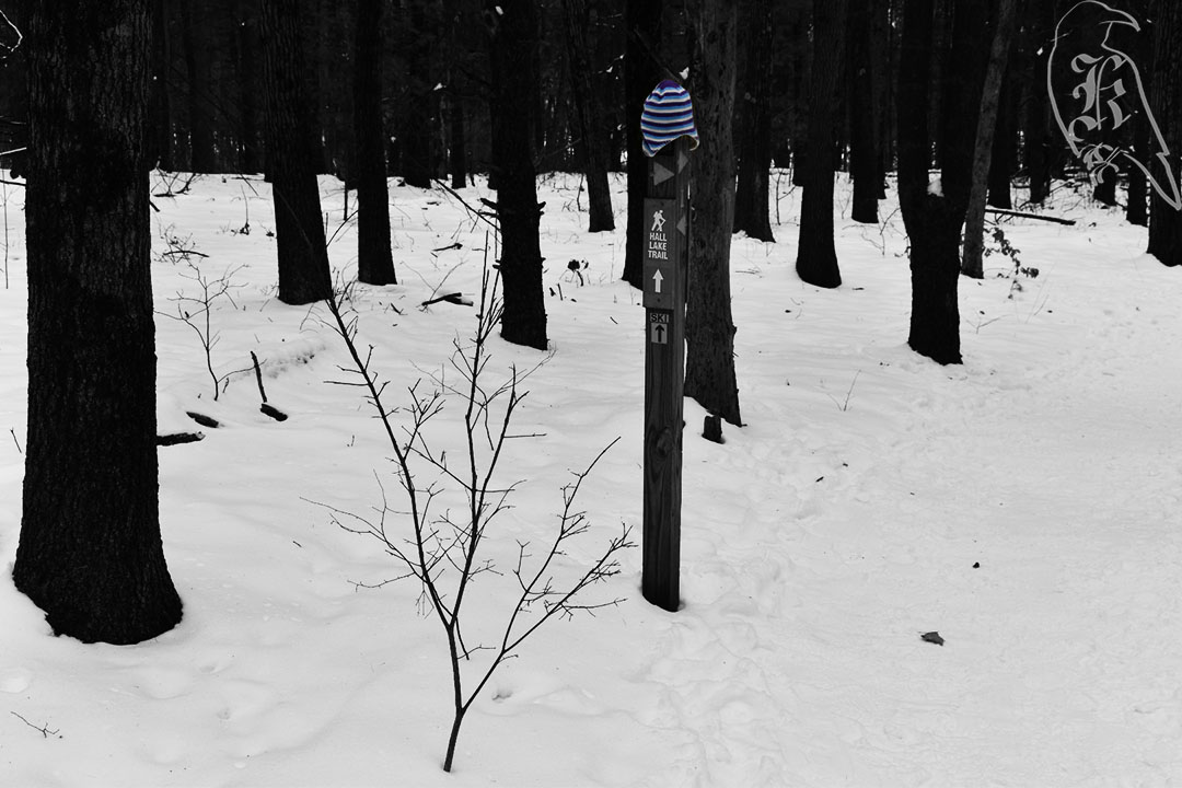
I take things seriously, even when I don’t have to. When I was a teenager, I even started carrying around an “apocalypse kit” in my car, but, as I’ve gotten much more into hiking, I’ve learned I’m probably much more prepared for such survival these days. I always have my gear in my car, unless I’m double checking items for an upcoming hike, so I can just go whenever I want to. I even almost always have a change of clothes I’d be comfortable hiking in with me. Because of this, I am meticulous about checking and testing gear. I’ll slightly change my approach to things or bring a new piece of gear with me. This leads to many weird looks on pretty “easy” trails, but I’d rather be safe than sorry, used to all of my gear, and fully prepared to take care of myself if something were to happen. Considering that I spend most of my time hiking alone, I find this extremely important.

Fully understanding yourself and your limits is also essential. This falls back onto the testing gear aspect. As a kid, I was pretty danger prone, so these days I know I have some issues I have to deal with that many others my age don’t. This goes from a bad wrist to a weak ankle and a quickly tiring knee due to an old injury. This doesn’t even account for things I’ve begun to deal with in recent years, like a bad back and managing my mental health. Knowing yourself and knowing the best way to approach these issues is key to successful hikes, especially as you go bigger and longer on the trails.

When I travel, I use a wrist brace, but I know this isn’t ideal on the trail, where you might need your hands in a split second, so I have taken to testing ideas to stabilize my wrist without giving up range of movement for my hand. In this search, I’ve also learned that I prefer to wear gloves, regardless of how warm it is, on the trail. Take the time to learn these things about yourself, because you’ll be more successful in the end because of it. Hiking is both a mental and a physical game, so you need to “gear up” with everything that makes it easier for your own individual experience.

Finally, learn from others. I constantly talk about my trips to REI to gear up, but be sure to talk with the employees if you stop in stores directly. Many of these people are just as interested in the same things you are and their expertise and experience can help you pick better gear and prepare for new experiences and approaches. REI and many others also have blogs with tips and tricks, but beyond this, look for people you identify with that you can learn from, or from people whose experience you can trust.

I have recently found Justin “Trauma” Lichter, who has over 35,000 trekking miles under his belt and has written to share his experiences with others (He has even written a small, pocket Survival Guide). While I don’t identify with him on a personal level, I have found some great things to test out and have found his experiences helpful.

I more identify with someone I found as I became more serious about hiking again last year. Shilletha, or @_dragonsky__ on Twitter, started a thru hike of the Appalachian Trail just a few weeks ago and her Twitter, YouTube, Patreon, and partnerships have provided a ton of helpful information in my approach to getting more serious about my own trekking. Her gear has led me to try some things and her own experiences have encouraged me to take myself more seriously as I embrace my inner nomad more fully.

Au Sable River Foot Trail AND Wakeley Lake

10 and 11 of 52

Au Sable River Foot Trail

After a trip to REI this week, I tested out some new gear and some new setups for my day trekking. With a few rough weeks on microspikes, I tested Yaktrax on the slowly thawing trails. Not as sure on my feet but definitely better than destroying my microspikes. I also took a new approach to carrying gear, which is going to take getting used to, but definitely worked better. After a gear suggestion, I actually used both trekking poles, and understand why they are suggested to be used as a pair. This was allowed due to a 5L waist pack, which is great for carrying my camera (which I used to keep lashed to my arm) and for easy access to snacks and water.

With 4 miles on the Au Sable River Foot Trail, I was surprised by the extremely well marked trail and came across my first true trail obstruction this year. While it was a large tree down, it didn’t make it impossible to pass and I didn’t even have to leave the trail, thankfully. The trail was extremely flat and pretty level, with only one steep incline, which, if I had been going the “right way” I would have even had a heads up on.

Wakeley Lake

Then, I was off to another 4 miles on Wakeley Lake. This was the first national park I hiked in. I had some issues buying a day pass, but once I got my phone to connect it was great.

I will likely return to do the full 9 miles at some point and take advantage of the camping facilities available there.

The trail was marked as semiprimitive, but it was well marked throughout the majority of the trail (there were a few markers that needed refreshing). It was a little more challenging than Au Sable River, but still relatively easy and led to a brisk approach.

Springlake Trail

9 of 52

A plan for a 3 mile trek, I ended up going 3.4 and around Springlake instead of sticking to the original trail. It was well marked, but I ended up taking the wrong fork at one point, due to only a quick glance at the map, and by the time I could cut back to where I wanted to be, it was marked as one way. (I still don’t understand the point of one way trails, but I do my best to listen to postings.) This led me on a bit of an adventure and took me to the other side of the lake, which is more trafficked due to the boat launches (not functioning due to the lake still being frozen) and the playgrounds and pavillions.

The terrain was a bit less covered this week, until the very end of the hike. It was much softer ground where there wasn’t ice, so the microspikes weren’t as worn out by the end of the day. Still, if earlier in the week hadn’t convinced me, this one definitely showed I needed less aggressive traction gear. It got me back to a much needed gear up at REI in the earlier part of the next week.

I hit pavement at one point, which I hate in my boots, but it was well cared for until you got into the shade. It still hadn’t really had time to do much thawing, so the final bit of my time was spent precariously on ice trying not to put my spikes back on.

The Ledges AND Green Trail

7 and 8 of 52

The Ledges

After three weeks away from the trails on family business, I decided to take an extra day off work and conquer two trails at once. This sent me to the Lansing area where I took on The Ledges and then hit the Green Trail out at Lake Lansing Park-North. After a few weeks of rough weather and then warming up, both trails proved to be a different points of unfreezing, which made it difficult to go without crampons but proved that my microspikes were too much. Needing a few items as we gear up for warmer weather, I did grab a pair of Yaktrax the next week after a few mishaps with having gear that was meant for slightly more difficult weather.

The Ledges were the trail that finally got me to download the All Trails app, which, I have to say, I love so far. It is The Ledges, not Ledges Trail, as it is called in the book. That trail is somewhere in Peninsula, Ohio. If you aren’t looking through AllTrails, you’d also need to search for Fitzgerald Park instead of the suggested Fitzgerald County Park. That is the actual name of the park, but didn’t come up when looking through my GPS options.

This is the trail that finally got me to download AllTrails (which I love). It is 2.4 miles with an optional 1.3 mile loop on the other end, with the trailhead and parking in between. If I hadn’t planned to do two trails, I would have checked out the loop as well.

I don’t know why in the world this is considered easy, although I’m sure it’s much more passable when it isn’t covered in snow and ice. I have deemed “easy” trails as ones I would take my mother on, and this definitely isn’t one of them. When they say narrow paths, they mean it.

I went back and forth with my spikes. Down the stairs and through Island Park, I went in just my boots as they were perfectly fine, but I wore my spikes and used my trekking pole for the entirety of the ledge. On the way back, I awkwardly used it in my other hand to feel more steady on the edges. 

You can also access The Ledges via Island Park, but the entire trail (and the best way to “loop” with the island) starts in Fitzgerald County Park. The Indigenous peoples called this area Big Rock, but it seems that spiritualists took over in the 1890s. Their pavilion was converted into a theater by the Grand Ledge community in the late 1950s and still stands in the park.

Green Trail

This is actually just the Lake Lansing Park North Trail, which is one of several color-coded trails in the area, largely used for skiing in the winter. Although, I saw almost no one. I ended up taking the longer, Blue Trail at 3.5 miles. It is only .2 miles longer than the Green Trail and you actually are on the green portion for the majority of the trek.

This is a one way trail, but I would suggest instead of starting at the trailhead, parking at the end of the trail. When you come to the sign that points you toward the trails, turn right toward “Oak Knoll” instead of left toward the trails. Here, there is a connection back to the trailhead.

As I had done both hikes on spikes, I decided to take them off at this point and walk up the road back to my car instead of the ice that awaited me cutting back up to the trailhead.

This trail was really rough on my legs because it was not consistently frozen. The trail was a myriad of different terrains because of this: frozen solid, unfreezing (leading my boots to go through the ice), muddy, and the soft wood of the bridges. I did not often feel stable on my spikes unless it was on the solid ice. And, the changing terrain led to spike maintenance upon returning home (and planning to purchase less aggressive shoe wear).

NOT Maple River Trail

6 of 52

My original plan had been for 2.3 miles on Maple River via the Unit B Trail in the Maple River State Game Area. Alas, I never found the trailhead. I had chosen Maple River because it was a short-ish trail that was close-ish to home because I could possibly be interrupted at any time on my hike due to a looming family emergency (which took me away for almost 3 weeks in mid-February (see my post here).

I do research before I go out, but I can never quite be sure if I’m going where I’m supposed to until I’m there, unless the trailhead just so happens to be in my navigation options (which does happen on occasion). I had been telling myself to download the All Trails app, but I didn’t get to that until a few weeks later. I decided to look, because I do want to accomplish all the hikes in this book, but it isn’t even an option in there, under the several names I have found for the trail.

To make the situation worse, not only did I never find the trailhead, but I’m not positive I ever found the gaming area, which is one of Michigan’s largest and is particularly used in October for duck season. I was taken to the middle of nowhere on some newly fallen snow, but I was never capable of even finding a sign to indicate I was in the right vicinity. I believe I was on gaming area land, but I never found what I was looking for, and, because the trail is along the river, the lack of water was a dead giveaway. Not to be deterred, I attempted to find access to the Maple River itself, which I did, but, still, no trailhead. I even got stuck in the snow trying to get out of the access road. Shoutout to the lovely couple that helped me out!

At this point, I called it quits, and took the 2 hour drive home, knowing more snow was possibly on the way. It was a really beautiful drive, so I still think the adventure was worth it. To get some time outside, I went to North Bay Park for a favorite spot of mine the next day. It’s only 1.4 miles and not a new trail to me, but it helped reinvigorate me as I start planning my trek for next week, and researching Maple River even more to get back to that trail one day (if you guys have any leads, please let me know!).

Even that day didn’t come without it’s hurdles. We did receive the snow we were supposed to overnight and the wind knocked out my heater, which means I woke up to an apartment that was about 53 degrees. I had to wait on maintenance and let it warm up before I could even contemplate a nice hike, because it never crested 10 degrees that day. I checked on the trail, it was 1 while I was out, making it, by far, my coldest hike yet. Maybe I’m glad I only did a short number I was familiar with that day.

North Bay Park is closed, officially, once the snow starts falling, but there is still walking access to the park. In fact, there is a carpool lot just outside the park that I almost always park at when I go. This trip actually made me realize that I’ve never once parked in the park itself.

Hall Lake Trail

5 of 52

Instead of the mapped 3.4 miles in the book, I only went 3.1. The book map showed a trail around Devil’s Soup Bowl, but the map at the trailhead didn’t show a clear indication and it wasn’t well marked, so I cut that portion short. With a pending snowstorm possible of hitting at any time, I didn’t want to get lost.

Devil’s Soup Bowl and Graves Hill were the main features I explored on the trail, although there were several other options and a myriad of other trails in the area. This could easily be a week’s worth of hiking once it’s warmer so I could hike and camp in the area. I was a little disappointed on the continued obstruction of Devil’s Soup Bowl even at peak winter, but I understand how much less visible it would have been with leaves on the trees. The topographical layouts of the feature sure indicate a very interesting set of slopes. I took in the fresh air and a moment of rest at the top of Graves Hill before heading back where I’d come.

Devil’s Soup Bowl

The cross-country skiers I came across were really entertaining as they struggled up the side of Graves Hill. I stepped off the trail to let them pass because it was too narrow for all of us. They offered a picture only after they had passed me, or I would have gladly taken one. I have never had an interest in cross-country skiing, but watching them struggle further convinced me to stay away from the sport.

In most cases, the path was extremely narrow, but easy to navigate. Of course, I now come fully prepared with microspikes and two trekking poles, but there was very little ice and was mostly just fresh powder to dig the tread of my boots into. The book mentioned confusing color-coded trails that were fixed a few years ago, so the bright colors on the trails were unexpected. They must have meant they made them less confusing, which I’d have to agree with because they were pretty easy to navigate.

While only on it for a very short amount of time, I can now officially say I’ve been on the North Country Trail (NCT), one of the Triple Crown trails I hope to one day hike, if I can keep this up. It’s kind of interesting to think that the first time I stepped onto one of these behemoths that it was not, in fact, the Appalachian Trail (AT), as it beckons from my homeland (sort of).

Pardon the (Hiking) Interruption

I have completed 6 of my 52 hikes, but I haven’t been able to hit the trails in over 2 weeks now, so, I wanted to update you, dear readers, that I will be getting back to it.. eventually. As of now, I have done write ups on my first 4 hikes and am still working through the photographs and the words for my last two excursions, but I have been called back home on family business. Sadly, this means the time I need to dedicate to my family and the rough weather we’ve been having in West Virginia has kept me away from my beloved trees and fresh air.

Visiting Great Grandma Ruby at our private family cemetery and scoping out a place for someone else.

I will be back though, guys, and I still plan on hitting that 52 hikes, even if I am a bit behind now. Please keep my family in your thoughts and prayers though, as we are going through a rough time. And, to hold you over, I am sporadically still posting photographs on my Instagram. I’ve also gotten some pretty cool shots here, while I’ve been home.

My view when I removed myself for a few days to get some work done.

Graham Lakes

4 of 52

A 3.6 mile trek in the Bald Mountain Recreation Area, I quite enjoyed walking the rolling hills the trail offered and the friendly people I found along the way. I have always heard stories about how friendly hikers are, but I’m really starting to love the interactions I am experiencing for myself.

These two were lovely as we walked together for about a quarter mile before they went on their way.

My chilliest trek yet, I am still constantly surprised that winter hiking is pretty popular in Michigan, although I know I shouldn’t be at this point. It was a chill 24 degrees for this journey, and I saw no less than that many hikers, bikers, fishers, and dogs while I was out. The only type of person I didn’t see were the ones the trail was originally made for, cross country skiers. (1) Although, I can understand that, because there wasn’t quite a solid layer of snow on the trail for them.

Due to the varying types of land visible on my outset (it was quite a bit icy but also pretty muddy), I forewent my microspikes, but I was quite grateful for my trekking poles at points. There were a few times where I wish I had brought both of them (as I prefer to only use one when hiking), but I didn’t have too many problems. I am quickly learning that the way you use your gear is really going to determine how you like trails during the winter. But I am welcoming all the experiences I am getting with this.

The coolest part about this hike were the views of the lakes throughout the path. As a non-native Michigander, I witnessed ice fishing for the first time. There were huts and fishers on both West Graham Lake and East Graham Lake and even from a bit away, it was pretty cool to witness.

This is West Graham Lake. There were probably half a dozen tents on East Graham Lake.
  1. Jim DuFresne, 50 Hikes in Michigan (Countrymen Press: New York, 2019): 24.

Crooked Lake Trail

3 of 52

This 5.1 mile trail was the first I had partners with in quite some time. Not many people like going out in the cold, but I remembered why it’s nice to have people around sometimes. Don’t get me wrong, I LOVE hiking on my own, but the trek was almost over before it started with the easy flowing conversation and the energy of the dog we had with us.

I had been to the Pickney Recreation Area before, but Crooked Lake was a new trail for me. It did not disappoint. There were some challenging hills and some great views of the water throughout the entire hike.

The ice was still an issue, much like the week before, but I decided I was more confident with just my trekking pole for this trip. Although, I would have likely dawned my microspikes if I had done the trail alone. I enjoyed one of my companion’s approaches to hills, sliding down on her butt. I suppose that works for the shorter trails I’m doing this year, but with longer treks in mind, I don’t think it’s a viable approach to the ice.

Penosha Trail

(2 of 52)

After another week of cold weather and continued snow, I shouldn’t have been surprised that this 5 mile trek was sitting on a sheet of 1.5 inch ice. About 12 steps in, I hit the ground and got to test out my microspikes for the duration of the journey. What did I learn? Shoe spikes save lives.

The entire trail was full of hills like this one, which made me constantly think about how far I would slide if I feel down one of these hills.

The trail was extremely populated from trail runners to weekend strollers and the camaraderie as we all struggled with the terrain was nice to experience. I still have no idea how anyone got through this hike without spikes on their shoes, but there were plenty that I came across. At one point, I actually stopped just to watch 3 teenage boys literally just slide down a hill. I didn’t stick around to figure out how they made it back up the other side, but I did notice not a single one of them had decent soles on their shoes for what they were doing.

About 3 miles into the trail from where I started at the Brighton Recreation Area, there is a portion of the trail that runs along the road of a neighborhood. While it is marked to indicate the direction you should head to find the next trailhead, some of it did get confusing and, to me, my map indicated a much shorter distance along the road than you actually are. I’d be curious to see if it’s better marked when there are more visible landmarks in the area, and less snow.

It’d been awhile since I’d seen one of these and many were partially broken, but a local Boy Scout troop installed shoe scrapers at each trailhead to fight against invasive species.


Shortly after this minor inconvenience, I did have to stop for some microspike maintenance, but it was quickly remedied and I was on my way. It wasn’t that they were even causing me trouble, just that the front and back had come undone on one foot so I sounded like the grim reaper rattling his chains through the woods. The 50 Hikes in Michigan book suggests doing this trail during peak fall colors, and, even with my experience in the dead of winter, I can definitely understand the suggestion (p. 43).